
毛坝镇 topographic map
Interactive map
Click on the map to display elevation.
About this map
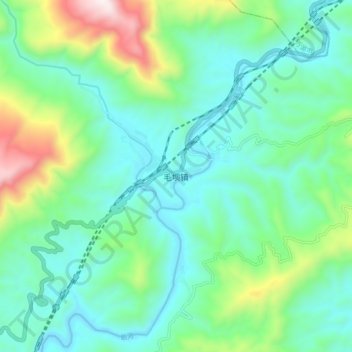
Name: 毛坝镇 topographic map, elevation, terrain.
Location: 毛坝镇, 宣汉县, 达州市, 四川省, 中国 (31.57663 107.70443 31.65663 107.78443)
Average elevation: 570 m
Minimum elevation: 334 m
Maximum elevation: 1,312 m
Other topographic maps
Click on a map to view its topography, its elevation and its terrain.