
唐冶街道 topographic map
Interactive map
Click on the map to display elevation.
About this map
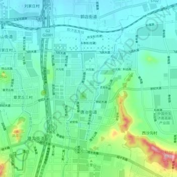
Name: 唐冶街道 topographic map, elevation, terrain.
Location: 唐冶街道, 历城区, 济南市, 山东省, 250100, 中国 (36.66625 117.16009 36.72303 117.24661)
Average elevation: 94 m
Minimum elevation: 44 m
Maximum elevation: 294 m
Other topographic maps
Click on a map to view its topography, its elevation and its terrain.