
郭店街道 topographic map
Interactive map
Click on the map to display elevation.
About this map
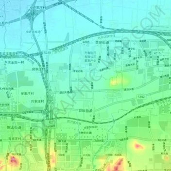
Name: 郭店街道 topographic map, elevation, terrain.
Location: 郭店街道, 历城区, 济南市, 山东省, 250100, 中国 (36.71738 117.20426 36.75120 117.30300)
Average elevation: 50 m
Minimum elevation: 22 m
Maximum elevation: 160 m
Other topographic maps
Click on a map to view its topography, its elevation and its terrain.