
川道水库 topographic map
Interactive map
Click on the map to display elevation.
About this map
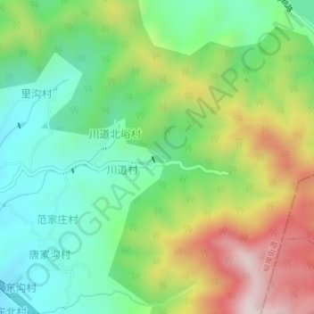
Name: 川道水库 topographic map, elevation, terrain.
Location: 川道水库, 柳埠街道, 南部山区, 历城区, 济南市, 山东省, 250100, 中国 (36.40612 117.18631 36.40699 117.18759)
Average elevation: 492 m
Minimum elevation: 290 m
Maximum elevation: 827 m