
港沟街道 topographic map
Interactive map
Click on the map to display elevation.
About this map
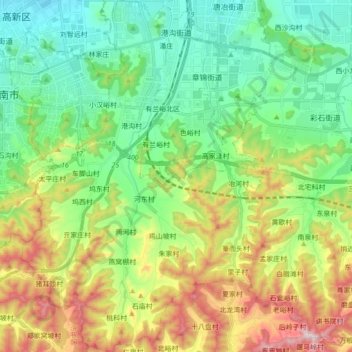
Name: 港沟街道 topographic map, elevation, terrain.
Location: 港沟街道, 历城区, 济南市, 山东省, 250100, 中国 (36.54793 117.12249 36.68776 117.24678)
Average elevation: 275 m
Minimum elevation: 52 m
Maximum elevation: 730 m
Other topographic maps
Click on a map to view its topography, its elevation and its terrain.