
山江镇 topographic map
Interactive map
Click on the map to display elevation.
About this map
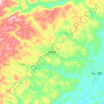
Name: 山江镇 topographic map, elevation, terrain.
Location: 山江镇, 凤凰县, 湘西土家族苗族自治州, 湖南省, 中国 (28.00650 109.42303 28.08650 109.50303)
Average elevation: 654 m
Minimum elevation: 421 m
Maximum elevation: 968 m
Other topographic maps
Click on a map to view its topography, its elevation and its terrain.