
凤凰县 topographic map
Interactive map
Click on the map to display elevation.
About this map
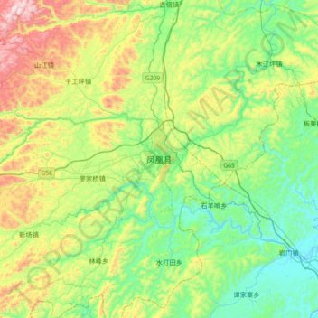
Name: 凤凰县 topographic map, elevation, terrain.
Location: 凤凰县, 湘西土家族苗族自治州, 湖南省, 416200, 中国 (27.79133 109.43420 28.11133 109.75420)
Average elevation: 422 m
Minimum elevation: 150 m
Maximum elevation: 1,022 m
Other topographic maps
Click on a map to view its topography, its elevation and its terrain.