
腊尔山镇 topographic map
Interactive map
Click on the map to display elevation.
About this map
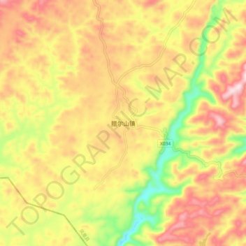
Name: 腊尔山镇 topographic map, elevation, terrain.
Location: 腊尔山镇, 凤凰县, 湘西土家族苗族自治州, 湖南省, 中国 (28.04450 109.34225 28.12450 109.42225)
Average elevation: 800 m
Minimum elevation: 564 m
Maximum elevation: 993 m
Other topographic maps
Click on a map to view its topography, its elevation and its terrain.