
禾库镇 topographic map
Interactive map
Click on the map to display elevation.
About this map
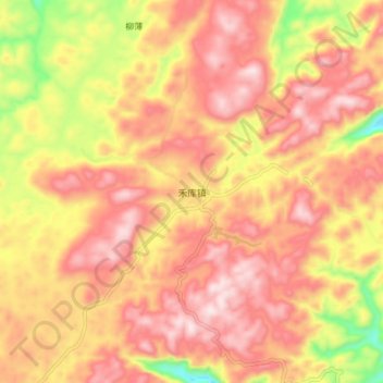
Name: 禾库镇 topographic map, elevation, terrain.
Location: 禾库镇, 凤凰县, 湘西土家族苗族自治州, 湖南省, 中国 (28.14715 109.43261 28.22715 109.51261)
Average elevation: 833 m
Minimum elevation: 547 m
Maximum elevation: 1,004 m
Other topographic maps
Click on a map to view its topography, its elevation and its terrain.