
日瓦桥村 topographic map
Interactive map
Click on the map to display elevation.
About this map
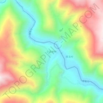
Name: 日瓦桥村 topographic map, elevation, terrain.
Location: 日瓦桥村, 理塘县, 甘孜藏族自治州, 四川省, 中国 (29.44898 100.65303 29.48898 100.69303)
Average elevation: 3,782 m
Minimum elevation: 3,386 m
Maximum elevation: 4,346 m
Other topographic maps
Click on a map to view its topography, its elevation and its terrain.