
车马村 topographic map
Interactive map
Click on the map to display elevation.
About this map
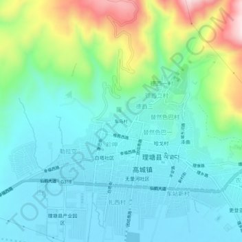
Name: 车马村 topographic map, elevation, terrain.
Location: 车马村, 理塘县, 甘孜藏族自治州, 四川省, 中国 (29.97879 100.24419 30.01879 100.28419)
Average elevation: 4,018 m
Minimum elevation: 3,923 m
Maximum elevation: 4,315 m