
陈家店村 topographic map
Interactive map
Click on the map to display elevation.
About this map
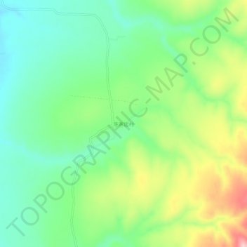
Name: 陈家店村 topographic map, elevation, terrain.
Location: 陈家店村, 朝阳市, 辽宁省, 中国 (42.12985 119.76881 42.16985 119.80881)
Average elevation: 639 m
Minimum elevation: 567 m
Maximum elevation: 771 m
Other topographic maps
Click on a map to view its topography, its elevation and its terrain.