
红旗街道 topographic map
Interactive map
Click on the map to display elevation.
About this map
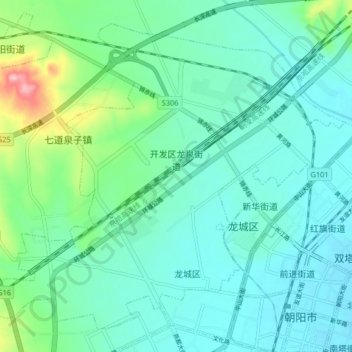
Name: 红旗街道 topographic map, elevation, terrain.
Location: 红旗街道, 龙城区, 朝阳市, 辽宁省, 中国 (41.57315 120.36739 41.62637 120.44921)
Average elevation: 199 m
Minimum elevation: 169 m
Maximum elevation: 318 m
Other topographic maps
Click on a map to view its topography, its elevation and its terrain.