
九大元帅走过的草原 topographic map
Interactive map
Click on the map to display elevation.
About this map
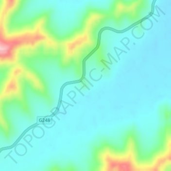
Name: 九大元帅走过的草原 topographic map, elevation, terrain.
Location: 九大元帅走过的草原, G248, 若尔盖县, 阿坝藏族羌族自治州, 四川省, 中国 (33.50347 102.69057 33.50357 102.69067)
Average elevation: 3,495 m
Minimum elevation: 3,452 m
Maximum elevation: 3,636 m
Other topographic maps
Click on a map to view its topography, its elevation and its terrain.