
康萨 topographic map
Interactive map
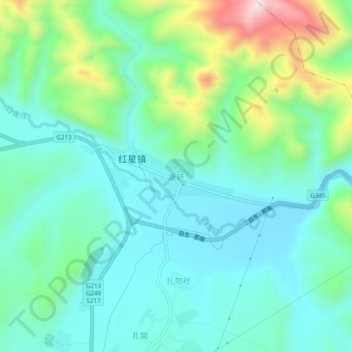
Click on the map to display elevation.
About this map
Name: 康萨 topographic map, elevation, terrain.
Location: 康萨, 红星镇, 若尔盖县, 阿坝藏族羌族自治州, 四川省, 624500, 中国 (34.07923 102.72146 34.11923 102.76146)
Average elevation: 3,254 m
Minimum elevation: 3,154 m
Maximum elevation: 3,558 m
Other topographic maps
Click on a map to view its topography, its elevation and its terrain.