
唐克镇 topographic map
Interactive map
Click on the map to display elevation.
About this map
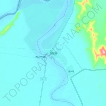
Name: 唐克镇 topographic map, elevation, terrain.
Location: 唐克镇, 若尔盖县, 阿坝藏族羌族自治州, 四川省, 中国 (33.37123 102.42754 33.45123 102.50754)
Average elevation: 3,449 m
Minimum elevation: 3,427 m
Maximum elevation: 3,664 m
Other topographic maps
Click on a map to view its topography, its elevation and its terrain.