
米亚罗镇 topographic map
Interactive map
Click on the map to display elevation.
About this map
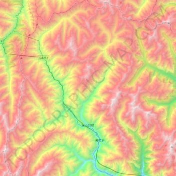
Name: 米亚罗镇 topographic map, elevation, terrain.
Location: 米亚罗镇, 理县, 阿坝藏族羌族自治州, 四川省, 中国 (31.55869 102.60044 31.91717 102.91264)
Average elevation: 4,008 m
Minimum elevation: 2,510 m
Maximum elevation: 5,286 m
Other topographic maps
Click on a map to view its topography, its elevation and its terrain.