
理县 topographic map
Interactive map
Click on the map to display elevation.
About this map
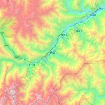
Name: 理县 topographic map, elevation, terrain.
Location: 理县, 杂谷脑镇, 理县, 阿坝藏族羌族自治州, 四川省, 中国 (31.27842 103.00579 31.59842 103.32579)
Average elevation: 3,346 m
Minimum elevation: 1,559 m
Maximum elevation: 5,843 m