
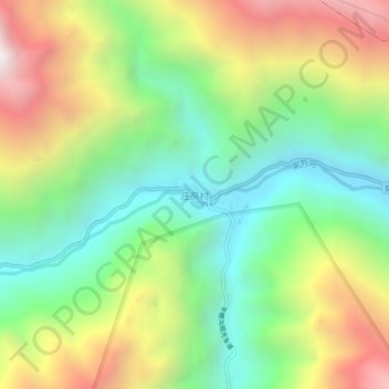
庄房村 topographic map
Interactive map
Click on the map to display elevation.
About this map
Name: 庄房村 topographic map, elevation, terrain.
Location: 庄房村, 朴头镇, 理县, 阿坝藏族羌族自治州, 四川省, 中国 (31.39482 102.95785 31.43482 102.99785)
Average elevation: 2,920 m
Minimum elevation: 2,238 m
Maximum elevation: 3,947 m
Other topographic maps
Click on a map to view its topography, its elevation and its terrain.