
白蒲镇 topographic map
Interactive map
Click on the map to display elevation.
About this map
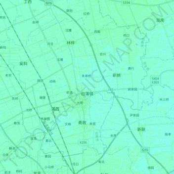
Name: 白蒲镇 topographic map, elevation, terrain.
Location: 白蒲镇, 如皋市, 南通市, 江苏省, 226500, 中国 (32.19170 120.64454 32.31940 120.83391)
Average elevation: 5 m
Minimum elevation: 3 m
Maximum elevation: 8 m
Other topographic maps
Click on a map to view its topography, its elevation and its terrain.