
塘堡村 topographic map
Interactive map
Click on the map to display elevation.
About this map
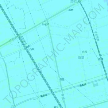
Name: 塘堡村 topographic map, elevation, terrain.
Location: 塘堡村, 白蒲镇, 如皋市, 南通市, 江苏省, 226500, 中国 (32.23441 120.68862 32.25997 120.72428)
Average elevation: 5 m
Minimum elevation: 4 m
Maximum elevation: 7 m
Other topographic maps
Click on a map to view its topography, its elevation and its terrain.