
长阳 topographic map
Interactive map
Click on the map to display elevation.
About this map
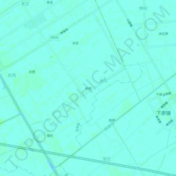
Name: 长阳 topographic map, elevation, terrain.
Location: 长阳, 吴窑镇, 如皋市, 南通市, 江苏省, 226500, 中国 (32.21132 120.59387 32.25132 120.63387)
Average elevation: 5 m
Minimum elevation: 3 m
Maximum elevation: 8 m