
大明社区 topographic map
Interactive map
Click on the map to display elevation.
About this map
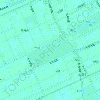
Name: 大明社区 topographic map, elevation, terrain.
Location: 大明社区, 如城街道, 如皋市, 南通市, 江苏省, 226500, 中国 (32.33062 120.53919 32.35885 120.56644)
Average elevation: 7 m
Minimum elevation: 4 m
Maximum elevation: 8 m
Other topographic maps
Click on a map to view its topography, its elevation and its terrain.