
宝塔河 topographic map
Interactive map
Click on the map to display elevation.
About this map
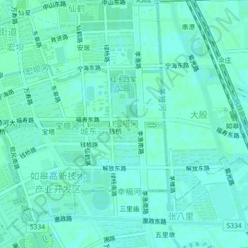
Name: 宝塔河 topographic map, elevation, terrain.
Location: 宝塔河, 城东社区, 如城街道, 如皋市, 南通市, 江苏省, 226500, 中国 (32.38482 120.58319 32.38516 120.59301)
Average elevation: 6 m
Minimum elevation: 3 m
Maximum elevation: 8 m
Other topographic maps
Click on a map to view its topography, its elevation and its terrain.