
草科藏族乡 topographic map
Interactive map
Click on the map to display elevation.
About this map
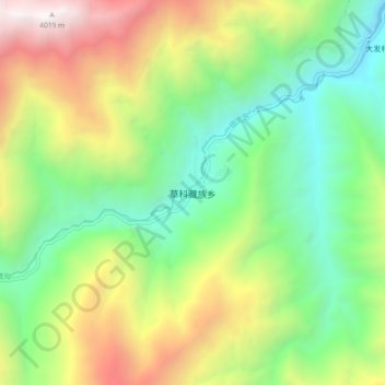
Name: 草科藏族乡 topographic map, elevation, terrain.
Location: 草科藏族乡, 石棉县, 雅安市, 四川省, 中国 (29.35947 102.07926 29.43947 102.15926)
Average elevation: 2,200 m
Minimum elevation: 1,112 m
Maximum elevation: 4,052 m
Other topographic maps
Click on a map to view its topography, its elevation and its terrain.