
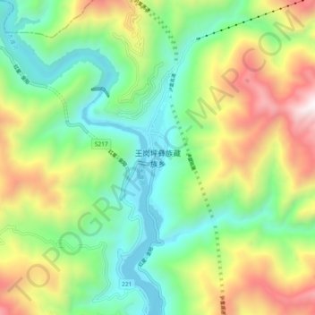
王岗坪彝族藏族乡 topographic map
Interactive map
Click on the map to display elevation.
About this map
Name: 王岗坪彝族藏族乡 topographic map, elevation, terrain.
Location: 王岗坪彝族藏族乡, 石棉县, 雅安市, 四川省, 中国 (29.39190 102.19523 29.47190 102.27523)
Average elevation: 1,554 m
Minimum elevation: 932 m
Maximum elevation: 2,671 m
Other topographic maps
Click on a map to view its topography, its elevation and its terrain.