
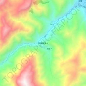
蟹螺藏族乡 topographic map
Interactive map
Click on the map to display elevation.
About this map
Name: 蟹螺藏族乡 topographic map, elevation, terrain.
Location: 蟹螺藏族乡, 石棉县, 雅安市, 四川省, 中国 (29.20153 102.19551 29.28153 102.27551)
Average elevation: 1,782 m
Minimum elevation: 885 m
Maximum elevation: 3,049 m
Other topographic maps
Click on a map to view its topography, its elevation and its terrain.