
拖乌山 topographic map
Interactive map
Click on the map to display elevation.
About this map
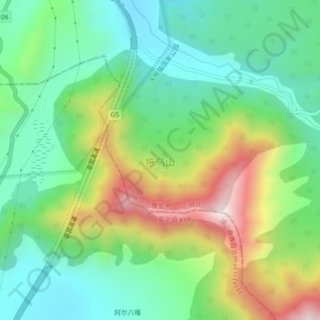
Name: 拖乌山 topographic map, elevation, terrain.
Location: 拖乌山, 石棉县, 雅安市, 四川省, 中国 (28.87691 102.29706 28.90195 102.33844)
Average elevation: 2,626 m
Minimum elevation: 2,399 m
Maximum elevation: 3,061 m
Other topographic maps
Click on a map to view its topography, its elevation and its terrain.