
鹏泉街道 topographic map
Interactive map
Click on the map to display elevation.
About this map
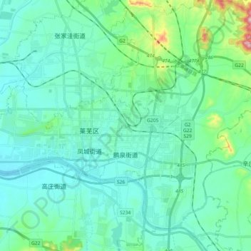
Name: 鹏泉街道 topographic map, elevation, terrain.
Location: 鹏泉街道, 莱芜区, 济南市, 山东省, 271100, 中国 (36.14500 117.67761 36.29072 117.80675)
Average elevation: 227 m
Minimum elevation: 170 m
Maximum elevation: 527 m
Other topographic maps
Click on a map to view its topography, its elevation and its terrain.