
凤城街道 topographic map
Interactive map
Click on the map to display elevation.
About this map
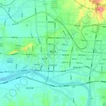
Name: 凤城街道 topographic map, elevation, terrain.
Location: 凤城街道, 莱芜区, 济南市, 山东省, 271100, 中国 (36.18607 117.58421 36.24097 117.69997)
Average elevation: 207 m
Minimum elevation: 170 m
Maximum elevation: 355 m