
和庄镇 topographic map
Interactive map
Click on the map to display elevation.
About this map
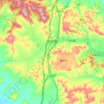
Name: 和庄镇 topographic map, elevation, terrain.
Location: 和庄镇, 莱芜区, 济南市, 山东省, 271100, 中国 (36.33976 117.74818 36.44633 117.88983)
Average elevation: 437 m
Minimum elevation: 247 m
Maximum elevation: 711 m
Other topographic maps
Click on a map to view its topography, its elevation and its terrain.