
侯家岗乡 topographic map
Interactive map
Click on the map to display elevation.
About this map
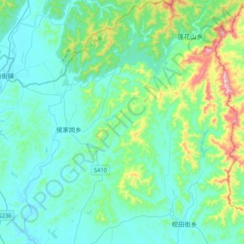
Name: 侯家岗乡 topographic map, elevation, terrain.
Location: 侯家岗乡, 鄱阳县, 上饶市, 江西省, 中国 (29.40181 116.76673 29.65561 116.97359)
Average elevation: 136 m
Minimum elevation: 19 m
Maximum elevation: 709 m
Other topographic maps
Click on a map to view its topography, its elevation and its terrain.