
白沙洲乡 topographic map
Interactive map
Click on the map to display elevation.
About this map
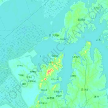
Name: 白沙洲乡 topographic map, elevation, terrain.
Location: 白沙洲乡, 鄱阳县, 上饶市, 江西省, 中国 (29.06441 116.56770 29.20835 116.74729)
Average elevation: 17 m
Minimum elevation: 6 m
Maximum elevation: 106 m
Other topographic maps
Click on a map to view its topography, its elevation and its terrain.