
鄱阳县 topographic map
Interactive map
Click on the map to display elevation.
About this map
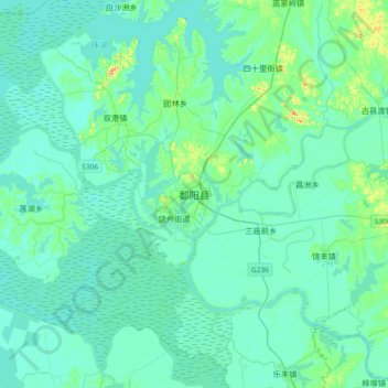
Name: 鄱阳县 topographic map, elevation, terrain.
Location: 鄱阳县, 鄱阳镇, 鄱阳县, 上饶市, 江西省, 中国 (28.84924 116.53516 29.16924 116.85516)
Average elevation: 19 m
Minimum elevation: 6 m
Maximum elevation: 108 m