
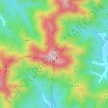
牛王寨 topographic map
Interactive map
Click on the map to display elevation.
About this map
Name: 牛王寨 topographic map, elevation, terrain.
Location: 牛王寨, 合肥市, 安徽省, 中国 (31.24553 117.07750 31.24563 117.07760)
Average elevation: 301 m
Minimum elevation: 131 m
Maximum elevation: 553 m
Other topographic maps
Click on a map to view its topography, its elevation and its terrain.