
卫星 topographic map
Interactive map
Click on the map to display elevation.
About this map
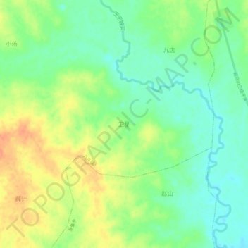
Name: 卫星 topographic map, elevation, terrain.
Location: 卫星, 合肥市, 安徽省, 中国 (32.07651 117.66155 32.11651 117.70155)
Average elevation: 44 m
Minimum elevation: 26 m
Maximum elevation: 65 m
Other topographic maps
Click on a map to view its topography, its elevation and its terrain.