
王河 topographic map
Interactive map
Click on the map to display elevation.
About this map
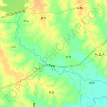
Name: 王河 topographic map, elevation, terrain.
Location: 王河, 张集乡, 合肥市, 肥东县, 安徽省, 231600, 中国 (32.00752 117.60608 32.05395 117.67566)
Average elevation: 39 m
Minimum elevation: 24 m
Maximum elevation: 53 m