
龙泉山 topographic map
Interactive map
Click on the map to display elevation.
About this map
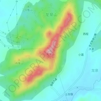
Name: 龙泉山 topographic map, elevation, terrain.
Location: 龙泉山, 合肥市, 安徽省, 中国 (31.78066 117.56337 31.78076 117.56347)
Average elevation: 111 m
Minimum elevation: 47 m
Maximum elevation: 280 m
Other topographic maps
Click on a map to view its topography, its elevation and its terrain.