
襄州区 topographic map
Interactive map
Click on the map to display elevation.
About this map
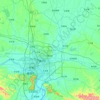
Name: 襄州区 topographic map, elevation, terrain.
Location: 襄州区, 襄阳市, 湖北省, 中国 (31.83874 111.80040 32.47642 112.55451)
Average elevation: 105 m
Minimum elevation: 52 m
Maximum elevation: 521 m
Other topographic maps
Click on a map to view its topography, its elevation and its terrain.