
肖湾街道 topographic map
Interactive map
Click on the map to display elevation.
About this map
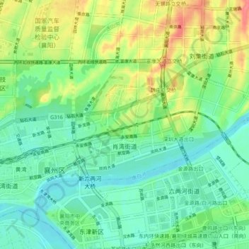
Name: 肖湾街道 topographic map, elevation, terrain.
Location: 肖湾街道, 襄州区, 襄阳市, 湖北省, 中国 (32.08665 112.19241 32.11825 112.27512)
Average elevation: 79 m
Minimum elevation: 58 m
Maximum elevation: 120 m
Other topographic maps
Click on a map to view its topography, its elevation and its terrain.