
襄阳市银河运动公园 topographic map
Interactive map
Click on the map to display elevation.
About this map
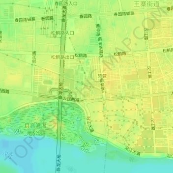
Name: 襄阳市银河运动公园 topographic map, elevation, terrain.
Location: 襄阳市银河运动公园, 鑫利达小区, 王寨街道, 樊城区, 襄阳市, 湖北省, 中国 (32.04176 112.10824 32.04398 112.11040)
Average elevation: 69 m
Minimum elevation: 55 m
Maximum elevation: 76 m
Other topographic maps
Click on a map to view its topography, its elevation and its terrain.