
草粮屯村 topographic map
Interactive map
Click on the map to display elevation.
About this map
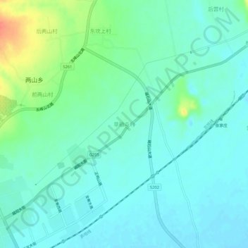
Name: 草粮屯村 topographic map, elevation, terrain.
Location: 草粮屯村, 秦皇岛市, 河北省, 中国 (39.71325 119.18758 39.75325 119.22758)
Average elevation: 19 m
Minimum elevation: 7 m
Maximum elevation: 57 m
Other topographic maps
Click on a map to view its topography, its elevation and its terrain.