
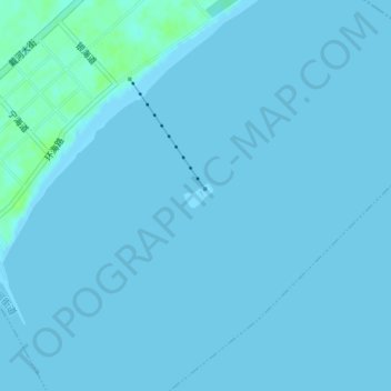
仙螺岛 topographic map
Interactive map
Click on the map to display elevation.
About this map
Name: 仙螺岛 topographic map, elevation, terrain.
Location: 仙螺岛, 南戴河街道, 抚宁区, 秦皇岛市, 河北省, 中国 (39.78427 119.43242 39.78596 119.43509)
Average elevation: 1 m
Minimum elevation: 0 m
Maximum elevation: 8 m