
下塔 topographic map
Interactive map
Click on the map to display elevation.
About this map
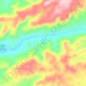
Name: 下塔 topographic map, elevation, terrain.
Location: 下塔, 天柱县, 黔东南苗族侗族自治州, 贵州省, 中国 (26.81020 109.10800 26.85020 109.14800)
Average elevation: 717 m
Minimum elevation: 556 m
Maximum elevation: 881 m
Other topographic maps
Click on a map to view its topography, its elevation and its terrain.