
合阳 topographic map
Interactive map
Click on the map to display elevation.
About this map
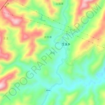
Name: 合阳 topographic map, elevation, terrain.
Location: 合阳, 天柱县, 黔东南苗族侗族自治州, 贵州省, 中国 (27.08520 109.21700 27.12520 109.25700)
Average elevation: 557 m
Minimum elevation: 406 m
Maximum elevation: 783 m
Other topographic maps
Click on a map to view its topography, its elevation and its terrain.