
高酿镇 topographic map
Interactive map
Click on the map to display elevation.
About this map
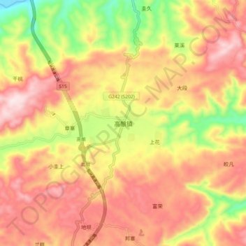
Name: 高酿镇 topographic map, elevation, terrain.
Location: 高酿镇, 天柱县, 黔东南苗族侗族自治州, 贵州省, 中国 (26.80216 109.13855 26.88216 109.21855)
Average elevation: 678 m
Minimum elevation: 402 m
Maximum elevation: 880 m
Other topographic maps
Click on a map to view its topography, its elevation and its terrain.