
佘村 topographic map
Interactive map
Click on the map to display elevation.
About this map
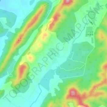
Name: 佘村 topographic map, elevation, terrain.
Location: 佘村, 南京市, 江苏省, 中国 (31.96418 118.90366 32.00418 118.94366)
Average elevation: 90 m
Minimum elevation: 16 m
Maximum elevation: 257 m
Other topographic maps
Click on a map to view its topography, its elevation and its terrain.