
石臼湖 topographic map
Interactive map
Click on the map to display elevation.
About this map
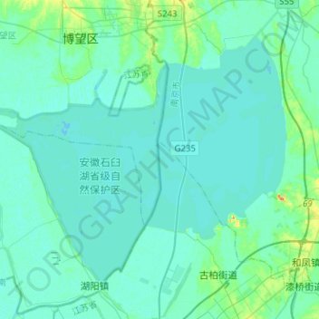
Name: 石臼湖 topographic map, elevation, terrain.
Location: 石臼湖, 宁宣高速, 南京市, 江苏省, 211200, 中国 (31.38606 118.73304 31.55399 118.98518)
Average elevation: 9 m
Minimum elevation: 2 m
Maximum elevation: 55 m
Other topographic maps
Click on a map to view its topography, its elevation and its terrain.