
大河坝 topographic map
Interactive map
Click on the map to display elevation.
About this map
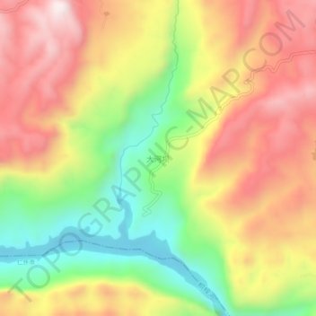
Name: 大河坝 topographic map, elevation, terrain.
Location: 大河坝, 遵义市, 贵州省, 中国 (28.03890 106.50800 28.07890 106.54800)
Average elevation: 828 m
Minimum elevation: 479 m
Maximum elevation: 1,152 m
Other topographic maps
Click on a map to view its topography, its elevation and its terrain.