
青杠塘镇 topographic map
Interactive map
Click on the map to display elevation.
About this map
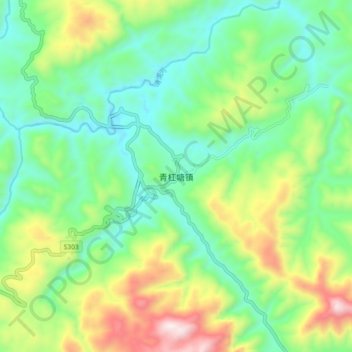
Name: 青杠塘镇 topographic map, elevation, terrain.
Location: 青杠塘镇, 遵义市, 贵州省, 中国 (28.28576 107.11208 28.36576 107.19208)
Average elevation: 879 m
Minimum elevation: 604 m
Maximum elevation: 1,460 m
Other topographic maps
Click on a map to view its topography, its elevation and its terrain.